Between Zion and Bryce Canyon, we stopped in Red Canyon to set up camp on day 3 of Road Trip USA: Summer 2014. After having a hard time finding camping at Zion, we pulled into Red Canyon Campground around 3pm to avoid another after-dark search for camping.
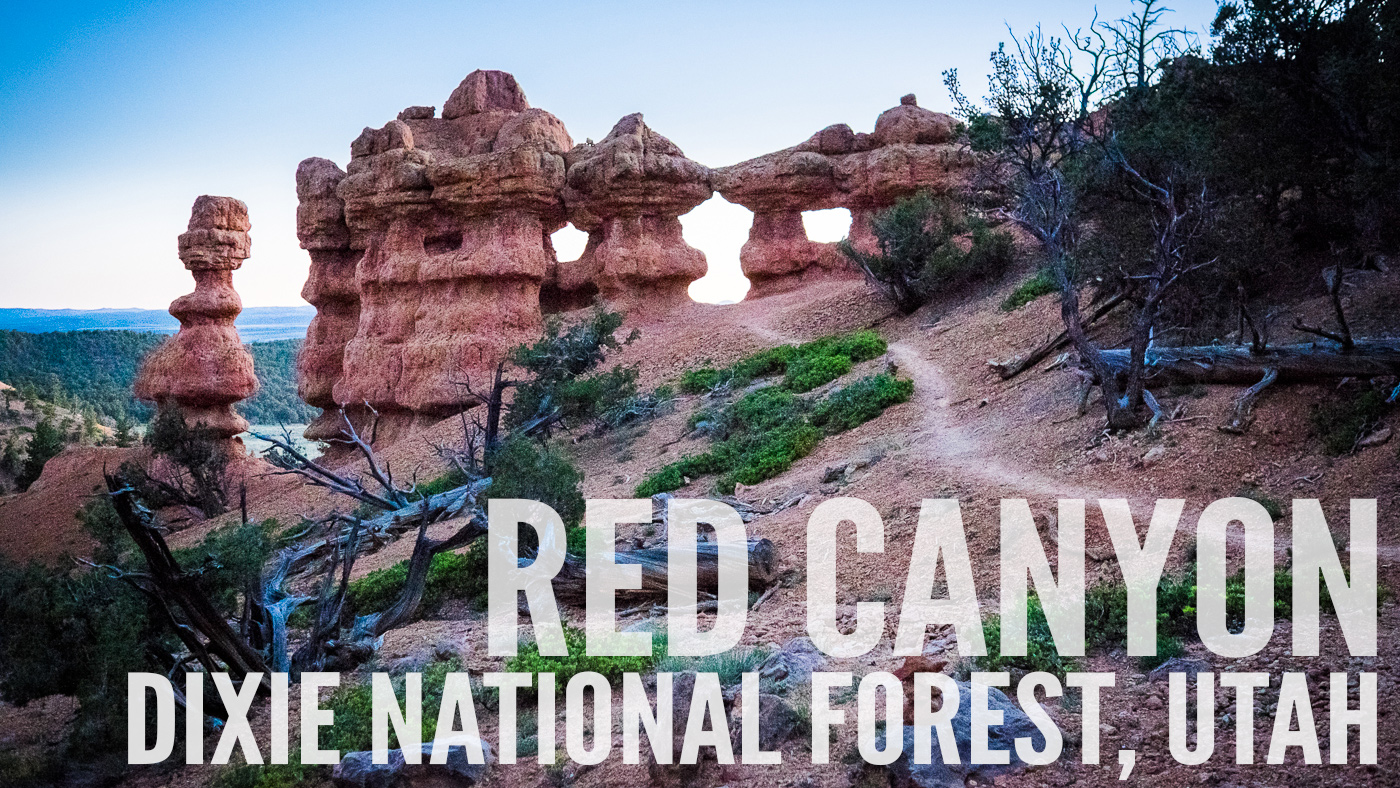
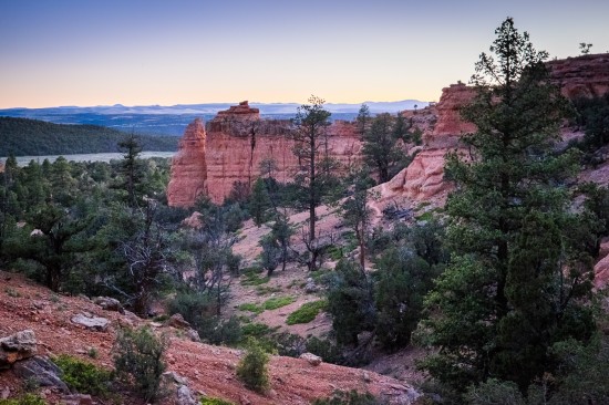
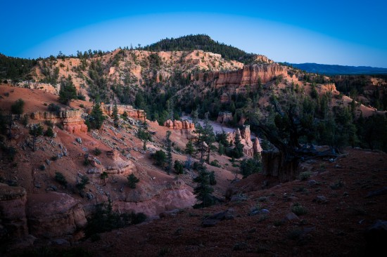
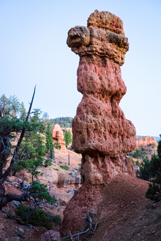
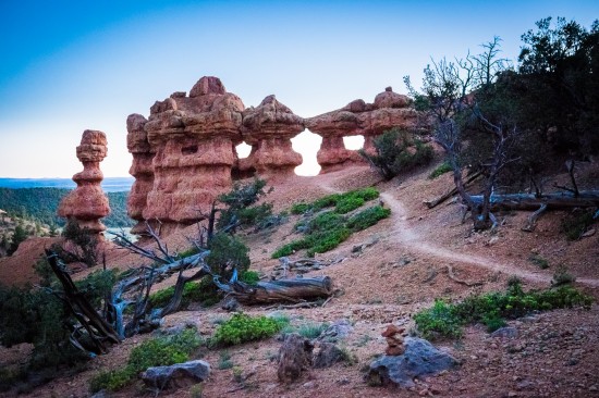
Red Canyon is located near Panguitch, Utah, in the Powell Ranger District of the expansive Dixie National Forest. With a landscape resembling a hybrid between Zion and Bryce, Red Canyon is home to red sandstone spires as well as dense sections of pine trees.
HIKING ARCHES TRAIL IN RED CANYON
After the sun went down, we decided to try a hike from the list of trails on the map we picked up from the Visitor Center. Arches Trail was nearby, short enough to finish before complete darkness fell, and it sounded like an interesting hike, with over 15 small arches to see along the way.
Trail Info
Arches Trail No. 3085
Start at the Losee Canyon trailhead parking area. You will see over 15 small arches. The trail has steep sections with steps.
Elevation change: 183 feet/56 meters
Length: 0.7 mi/1.1 km loop
View Google Map
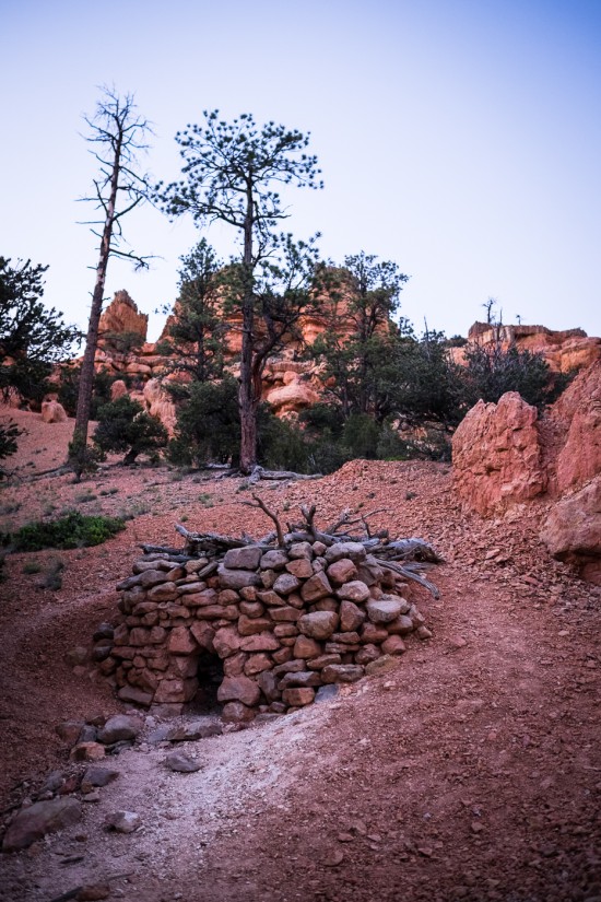
The trail begins north of the Losee Canyon trailhead parking lot and starts with a flat walk that eases into a gradual climb. We spotted an interesting little shelter built from stone and tree branches near the beginning of the hike (below).
The loop then progresses into a slightly moderate steepness, but before you know it, you’re at the top with a gorgeous view below.
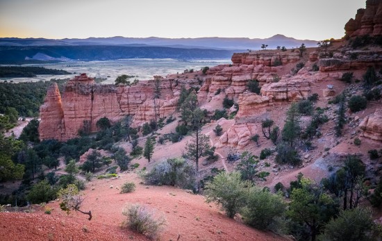
View from the top of Arches Trail
There are a few steeper sections, but they’re short-lived and easy to manage. And though there are some cliff sections at the top, the trail doesn’t go near the edge, so it’s a safe hike for kids (and a walk in the park compared to the Angels Landing hike we did the day before at Zion).
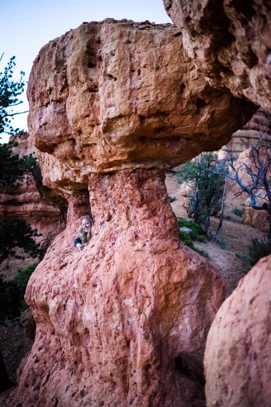
That’s me, leaning through an arch on Arches Trail.
Along Arches Trail, we noticed a couple backcountry camping with likely one of the best views in the area (below).
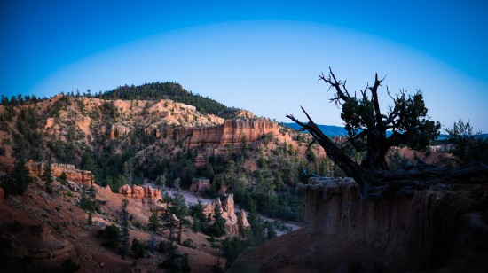
Look on the top of the ridge, near the left in an orange tent. (Click to enlarge.)
PHOTOGRAPHING THE MILKY WAY AT RED CANYON
After darkness fell and stars started lighting up the sky, Ian took out our travel-friendly Fujifilm X-T1 and tripod and got a few shots of the Milky Way.
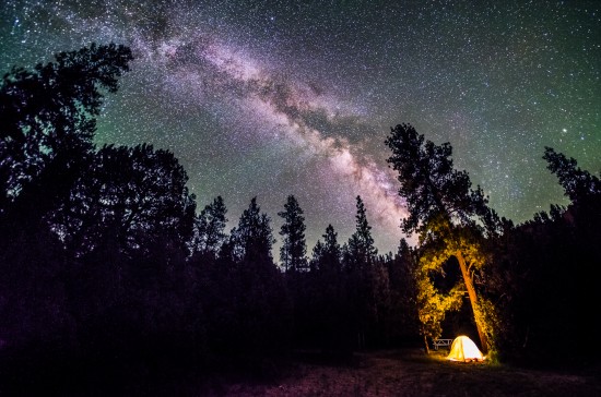
The fisheye Milky Way photo above was taken from our campsite at Red Canyon Campground.
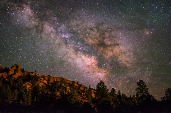
Above: About a mile down the road from Red Canyon Campground
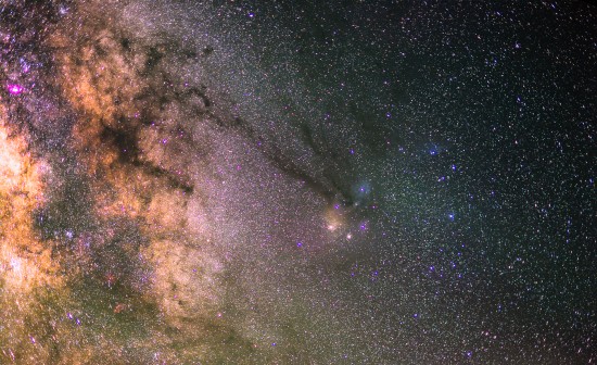
Above: A Milky Way close-up from Red Canyon
ADDITIONAL RESOURCES
Arches Trail Information (PDF) – Download
Welcome to the Dixie National Forest (PDF) – Download
Dixie National Forest Powell Ranger District Travel Map (PDF) – Download
Dixie National Forest Maps – Webpage with downloads and free ordering information
ABOUT ROAD TRIP USA: SUMMER 2014
In June 2014, we spent two weeks traveling through the Western U.S. between Los Angeles, California and St. Louis, Missouri. With stops in Nevada, Utah, Colorado, and Missouri, we saw some spectacular sights, including several National and State Parks, plenty of wildlife, the hike of a lifetime, and the fabulous wedding of one of my best friends since middle school.
With St. Louis (my hometown) as our final destination on our outbound trip, we spent several days in the good ol’ StL while I introduced Ian to some of my favorite people and places in St. Louis. View details about our Road Trip USA, Summer 2014, including links to posts from other places we visited along the way, here.
These milky way images are *amazing*. Did you really leave the shutter open for only 8 or 10 seconds? Wow. I really enjoy following your adventures. Enjoy the trip!
Thanks Didier! Yep, the shutter was only open for 8 seconds on that last Milky Way shot, but to get a cleaner, noise-reduced image, Ian stacked 16 exposures. Ian’s YouTube video shows the technique here: http://youtu.be/Rydg7JGTAbw